PostGIS  3.0.6dev-r@@SVN_REVISION@@

◆ ST_MinimumClearanceLine()

Datum ST_MinimumClearanceLine ( PG_FUNCTION_ARGS  )

Definition at line 3441 of file postgis/lwgeom_geos.c.

3442 {
3443  GSERIALIZED* input;
3444  GSERIALIZED* result;
3445  GEOSGeometry* input_geos;
3446  GEOSGeometry* result_geos;
3447  int32_t srid;
3448 
3449  initGEOS(lwpgnotice, lwgeom_geos_error);
3450 
3451  input = PG_GETARG_GSERIALIZED_P(0);
3452  srid = gserialized_get_srid(input);
3453  input_geos = POSTGIS2GEOS(input);
3454  if (!input_geos)
3455  HANDLE_GEOS_ERROR("Geometry could not be converted to GEOS");
3456 
3457  result_geos = GEOSMinimumClearanceLine(input_geos);
3458  GEOSGeom_destroy(input_geos);
3459  if (!result_geos)
3460  HANDLE_GEOS_ERROR("Error computing minimum clearance");
3461 
3462  GEOSSetSRID(result_geos, srid);
3463  result = GEOS2POSTGIS(result_geos, LW_FALSE);
3464  GEOSGeom_destroy(result_geos);
3465 
3466  PG_FREE_IF_COPY(input, 0);
3467  PG_RETURN_POINTER(result);
3468 }
int32_t gserialized_get_srid(const GSERIALIZED *g)
Extract the SRID from the serialized form (it is packed into three bytes so this is a handy function)...
Definition: gserialized.c:126
void lwgeom_geos_error(const char *fmt,...)
#define LW_FALSE
Definition: liblwgeom.h:108
#define HANDLE_GEOS_ERROR(label)
GEOSGeometry * POSTGIS2GEOS(GSERIALIZED *pglwgeom)
GSERIALIZED * GEOS2POSTGIS(GEOSGeom geom, char want3d)

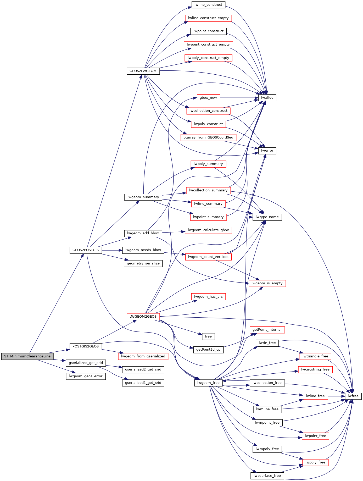
References GEOS2POSTGIS(), gserialized_get_srid(), HANDLE_GEOS_ERROR, LW_FALSE, lwgeom_geos_error(), and POSTGIS2GEOS().

Here is the call graph for this function: