Loading...
Searching...
No Matches
◆ ST_Distance()
| Datum ST_Distance | ( | PG_FUNCTION_ARGS | ) |
Definition at line 695 of file lwgeom_functions_basic.c.
696{
697 double mindist;
698 GSERIALIZED *geom1 = PG_GETARG_GSERIALIZED_P(0);
699 GSERIALIZED *geom2 = PG_GETARG_GSERIALIZED_P(1);
702 gserialized_error_if_srid_mismatch(geom1, geom2, __func__);
703
704 mindist = lwgeom_mindistance2d(lwgeom1, lwgeom2);
705
706 lwgeom_free(lwgeom1);
707 lwgeom_free(lwgeom2);
708
709 PG_FREE_IF_COPY(geom1, 0);
710 PG_FREE_IF_COPY(geom2, 1);
711
712 /* if called with empty geometries the ingoing mindistance is untouched, and makes us return NULL*/
713 if (mindist < FLT_MAX)
714 PG_RETURN_FLOAT8(mindist);
715
716 PG_RETURN_NULL();
717}
void gserialized_error_if_srid_mismatch(const GSERIALIZED *g1, const GSERIALIZED *g2, const char *funcname)
Definition gserialized.c:404
LWGEOM * lwgeom_from_gserialized(const GSERIALIZED *g)
Allocate a new LWGEOM from a GSERIALIZED.
Definition gserialized.c:239
double lwgeom_mindistance2d(const LWGEOM *lw1, const LWGEOM *lw2)
Function initializing min distance calculation.
Definition measures.c:197
Definition liblwgeom.h:429
Definition liblwgeom.h:443
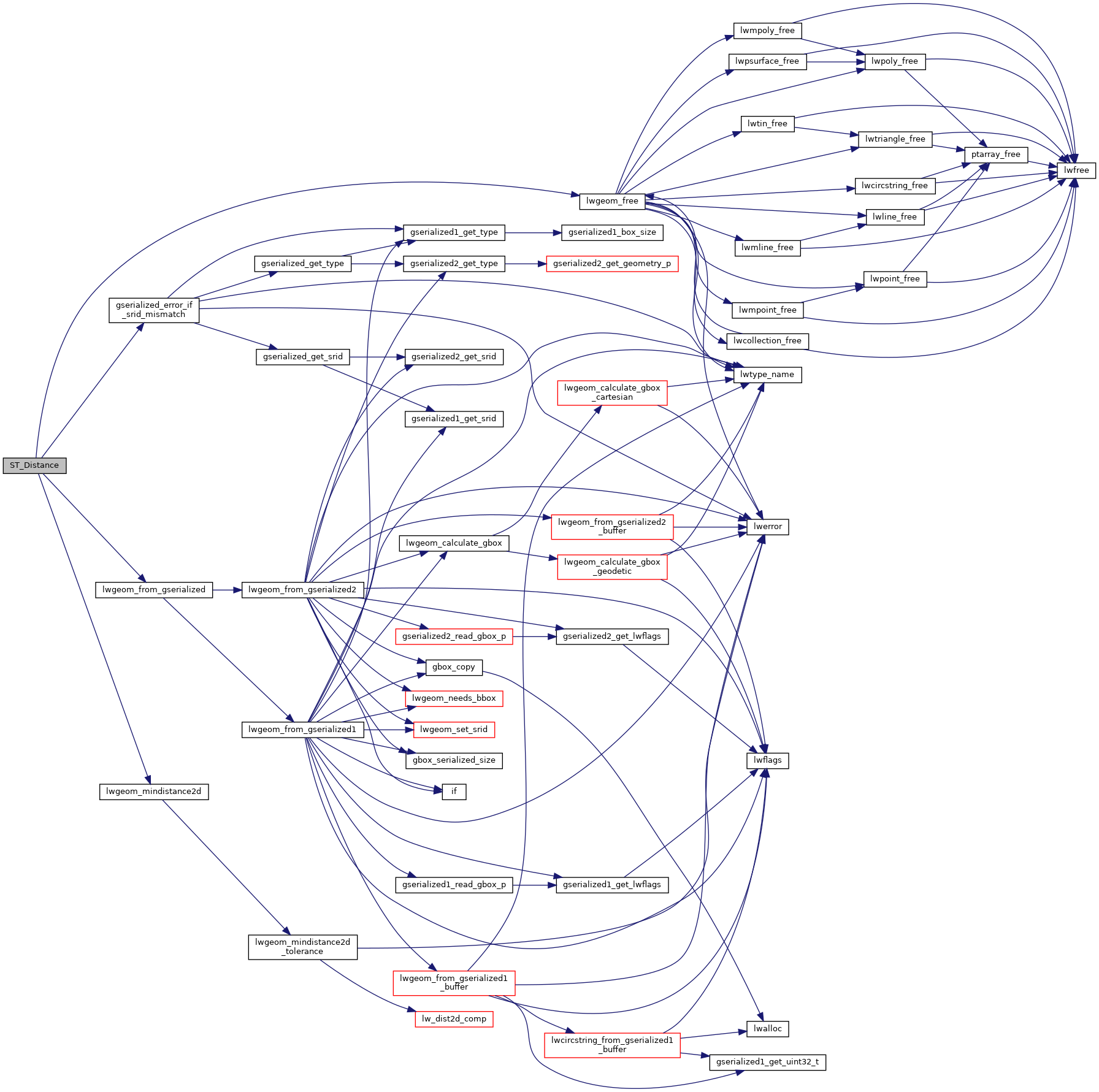
References gserialized_error_if_srid_mismatch(), lwgeom_free(), lwgeom_from_gserialized(), and lwgeom_mindistance2d().
Referenced by optimistic_overlap().
Here is the call graph for this function:
Here is the caller graph for this function: