PostGIS  3.0.6dev-r@@SVN_REVISION@@

◆ LWGEOM_dwithin3d()

Datum LWGEOM_dwithin3d ( PG_FUNCTION_ARGS  )

Definition at line 956 of file lwgeom_functions_basic.c.

957 {
958  double mindist;
959  GSERIALIZED *geom1 = PG_GETARG_GSERIALIZED_P(0);
960  GSERIALIZED *geom2 = PG_GETARG_GSERIALIZED_P(1);
961  double tolerance = PG_GETARG_FLOAT8(2);
962  LWGEOM *lwgeom1 = lwgeom_from_gserialized(geom1);
963  LWGEOM *lwgeom2 = lwgeom_from_gserialized(geom2);
964 
965  if (tolerance < 0)
966  {
967  elog(ERROR, "Tolerance cannot be less than zero\n");
968  PG_RETURN_NULL();
969  }
970 
971  gserialized_error_if_srid_mismatch(geom1, geom2, __func__);
972 
973  mindist = lwgeom_mindistance3d_tolerance(lwgeom1, lwgeom2, tolerance);
974 
975  PG_FREE_IF_COPY(geom1, 0);
976  PG_FREE_IF_COPY(geom2, 1);
977 
978  /*empty geometries cases should be right handled since return from underlying
979  functions should be FLT_MAX which causes false as answer*/
980  PG_RETURN_BOOL(tolerance >= mindist);
981 }
void gserialized_error_if_srid_mismatch(const GSERIALIZED *g1, const GSERIALIZED *g2, const char *funcname)
Definition: gserialized.c:404
LWGEOM * lwgeom_from_gserialized(const GSERIALIZED *g)
Allocate a new LWGEOM from a GSERIALIZED.
Definition: gserialized.c:239
double lwgeom_mindistance3d_tolerance(const LWGEOM *lw1, const LWGEOM *lw2, double tolerance)
Function handling 3d min distance calculations and dwithin calculations.
Definition: measures3d.c:442

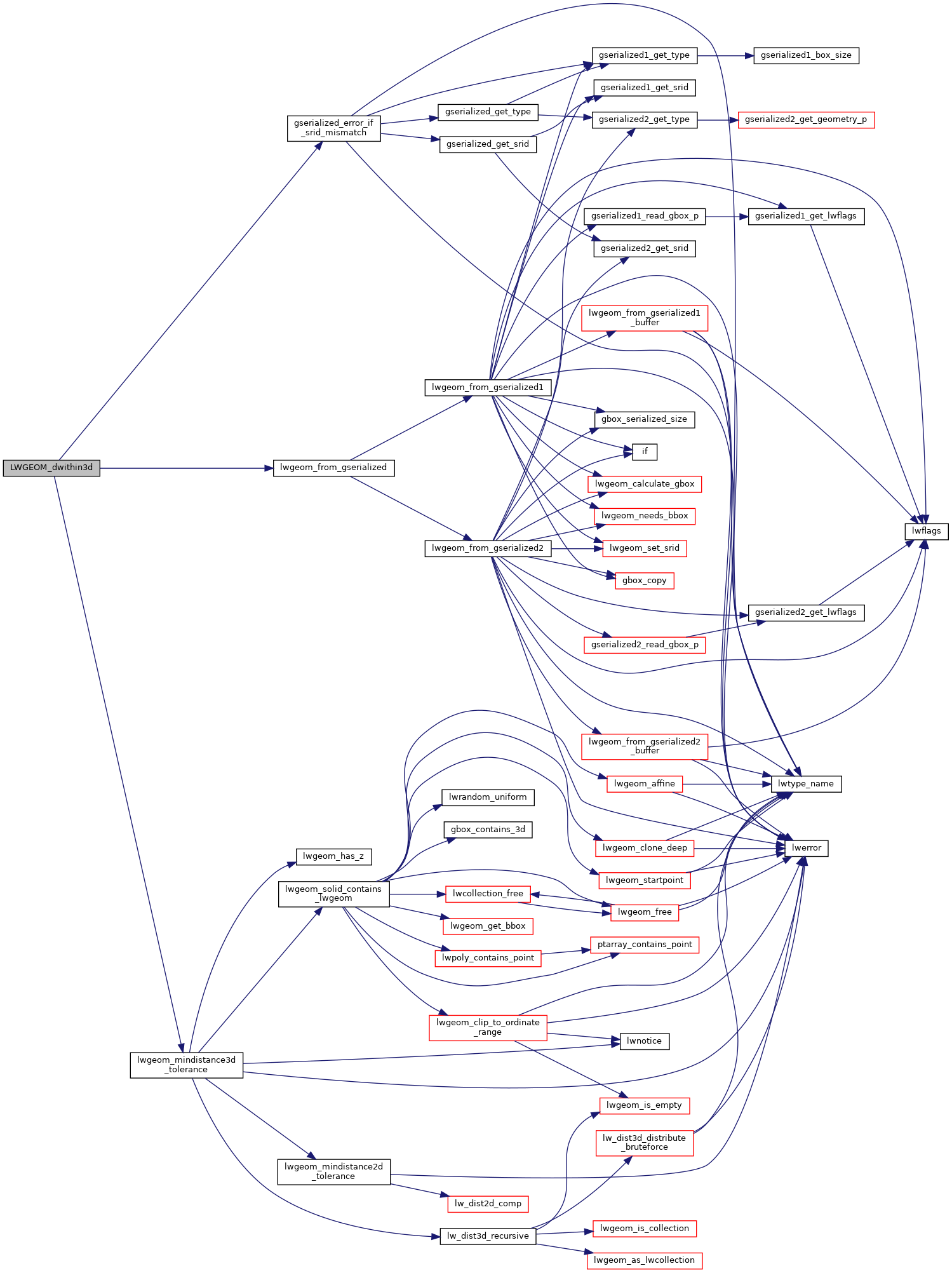
References gserialized_error_if_srid_mismatch(), lwgeom_from_gserialized(), and lwgeom_mindistance3d_tolerance().

Here is the call graph for this function: