Loading...
Searching...
No Matches
◆ ST_TileEnvelope()
| Datum ST_TileEnvelope | ( | PG_FUNCTION_ARGS | ) |
Definition at line 2039 of file lwgeom_functions_basic.c.
2040{
2041 GSERIALIZED *bounds;
2042 uint32_t zoomu;
2044 uint32_t worldTileSize;
2045 double tileGeoSizeX, tileGeoSizeY;
2046 double boundsWidth, boundsHeight;
2047 double x1, y1, x2, y2;
2048 /* This is broken, since 3857 doesn't mean "web mercator", it means
2049 the contents of the row in spatial_ref_sys with srid = 3857.
2050 For practical purposes this will work, but in good implementation
2051 we should de-reference in spatial ref sys to confirm that the
2052 srid of the object is EPSG:3857. */
2053 int32_t srid;
2054 GBOX bbox;
2055 LWGEOM *g = NULL;
2056
2057 POSTGIS_DEBUG(2, "ST_TileEnvelope called");
2058
2059 zoom = PG_GETARG_INT32(0);
2060 x = PG_GETARG_INT32(1);
2061 y = PG_GETARG_INT32(2);
2062
2063 bounds = PG_GETARG_GSERIALIZED_P(3);
2064 /*
2065 * We deserialize the geometry and recalculate the bounding box here to get
2066 * 64b floating point precision. The serialized bbox has 32b float is not
2067 * precise enough with big numbers such as the ones used in the default
2068 * parameters, e.g: -20037508.3427892 is transformed into -20037510
2069 */
2070 g = lwgeom_from_gserialized(bounds);
2072 elog(ERROR, "%s: Unable to compute bbox", __func__);
2073 srid = g->srid;
2074 lwgeom_free(g);
2075
2078 if (boundsWidth <= 0 || boundsHeight <= 0)
2079 elog(ERROR, "%s: Geometric bounds are too small", __func__);
2080
2081 if (zoom < 0 || zoom >= 32)
2082 elog(ERROR, "%s: Invalid tile zoom value, %d", __func__, zoom);
2083
2084 zoomu = (uint32_t)zoom;
2085 worldTileSize = 0x01u << (zoomu > 31 ? 31 : zoomu);
2086
2088 elog(ERROR, "%s: Invalid tile x value, %d", __func__, x);
2090 elog(ERROR, "%s: Invalid tile y value, %d", __func__, y);
2091
2092 tileGeoSizeX = boundsWidth / worldTileSize;
2093 tileGeoSizeY = boundsHeight / worldTileSize;
2098
2099 PG_RETURN_POINTER(
2100 geometry_serialize(
2101 lwpoly_as_lwgeom(
2103 srid, x1, y1, x2, y2))));
2104}
LWGEOM * lwgeom_from_gserialized(const GSERIALIZED *g)
Allocate a new LWGEOM from a GSERIALIZED.
Definition gserialized.c:239
LWPOLY * lwpoly_construct_envelope(int32_t srid, double x1, double y1, double x2, double y2)
Definition lwpoly.c:98
int lwgeom_calculate_gbox(const LWGEOM *lwgeom, GBOX *gbox)
Calculate bounding box of a geometry, automatically taking into account whether it is cartesian or ge...
Definition lwgeom.c:737
GSERIALIZED * geometry_serialize(LWGEOM *lwgeom)
Definition liblwgeom.h:338
Definition liblwgeom.h:429
Definition liblwgeom.h:443
References geometry_serialize(), LW_SUCCESS, lwgeom_calculate_gbox(), lwgeom_free(), lwgeom_from_gserialized(), lwpoly_as_lwgeom(), lwpoly_construct_envelope(), LWGEOM::srid, GBOX::xmax, GBOX::xmin, GBOX::ymax, and GBOX::ymin.
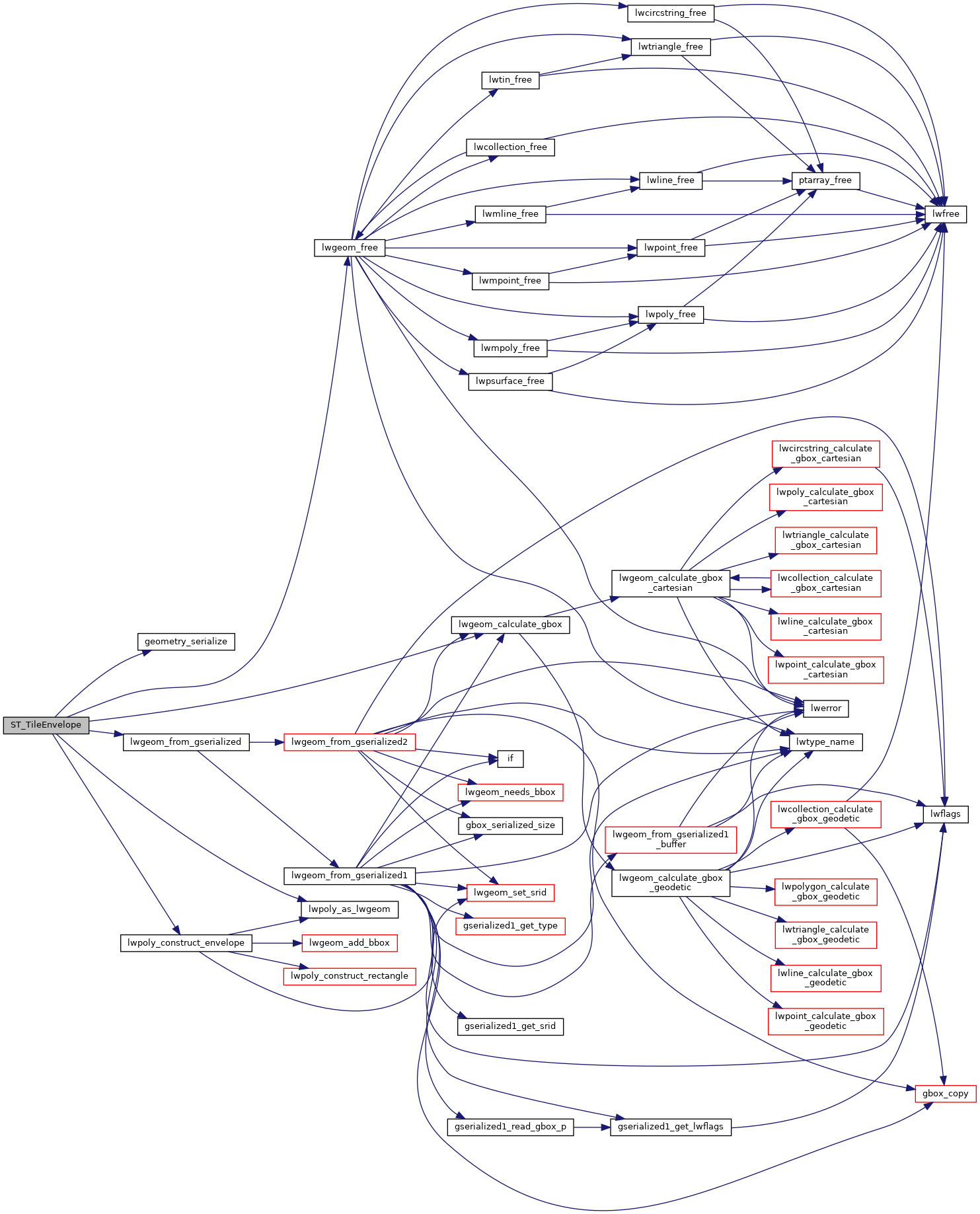
Here is the call graph for this function: