Loading...
Searching...
No Matches
◆ lwcollection_from_gserialized2_buffer()
|
static |
Definition at line 1451 of file gserialized2.c.
1452{
1453 uint32_t type;
1454 uint8_t *start_ptr = data_ptr;
1455 LWCOLLECTION *collection;
1456 uint32_t ngeoms = 0;
1457 uint32_t i = 0;
1458
1459 assert(data_ptr);
1460
1462 data_ptr += 4; /* Skip past the type. */
1463
1466 collection->bbox = NULL;
1469
1470 ngeoms = gserialized2_get_uint32_t(data_ptr);
1472 data_ptr += 4; /* Skip past the ngeoms. */
1473
1474 if (ngeoms > 0)
1475 {
1477 collection->maxgeoms = ngeoms;
1478 }
1479 else
1480 {
1481 collection->geoms = NULL;
1482 collection->maxgeoms = 0;
1483 }
1484
1485 /* Sub-geometries are never de-serialized with boxes (#1254) */
1487
1488 for (i = 0; i < ngeoms; i++)
1489 {
1490 uint32_t subtype = gserialized2_get_uint32_t(data_ptr);
1491 size_t subsize = 0;
1492
1494 {
1495 lwerror("Invalid subtype (%s) for collection type (%s)", lwtype_name(subtype), lwtype_name(type));
1496 lwfree(collection);
1497 return NULL;
1498 }
1500 data_ptr += subsize;
1501 }
1502
1503 if (size)
1504 *size = data_ptr - start_ptr;
1505
1506 return collection;
1507}
static uint32_t gserialized2_get_uint32_t(const uint8_t *loc)
Definition gserialized2.c:129
static LWGEOM * lwgeom_from_gserialized2_buffer(uint8_t *data_ptr, lwflags_t lwflags, size_t *size)
Definition gserialized2.c:1509
const char * lwtype_name(uint8_t type)
Return the type name string associated with a type number (e.g.
Definition lwutil.c:216
lwflags_t lwflags(int hasz, int hasm, int geodetic)
Construct a new flags bitmask.
Definition lwutil.c:471
int lwcollection_allows_subtype(int collectiontype, int subtype)
Check if subtype is allowed in collectiontype.
Definition lwcollection.c:523
Definition liblwgeom.h:559
Definition liblwgeom.h:443
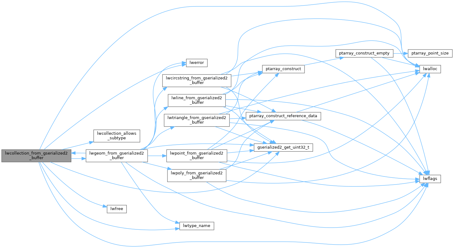
References LWCOLLECTION::bbox, LWCOLLECTION::flags, FLAGS_SET_BBOX, LWCOLLECTION::geoms, gserialized2_get_uint32_t(), lwalloc(), lwcollection_allows_subtype(), lwerror(), lwflags(), lwfree(), lwgeom_from_gserialized2_buffer(), lwtype_name(), LWCOLLECTION::maxgeoms, LWCOLLECTION::ngeoms, LWCOLLECTION::srid, SRID_UNKNOWN, and LWCOLLECTION::type.
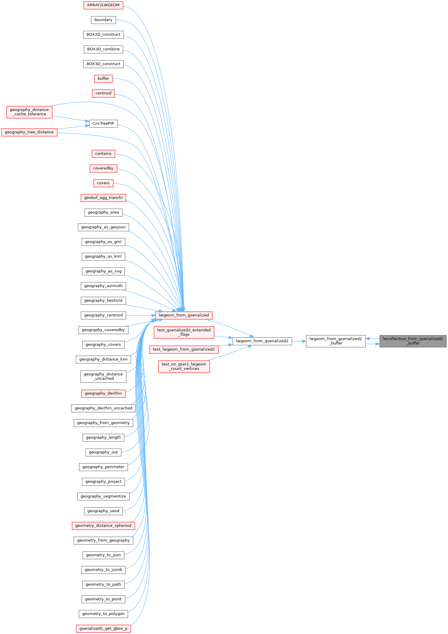
Referenced by lwgeom_from_gserialized2_buffer().
Here is the call graph for this function:
Here is the caller graph for this function: