Loading...
Searching...
No Matches
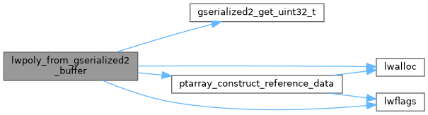
◆ lwpoly_from_gserialized2_buffer()
|
static |
Definition at line 1332 of file gserialized2.c.
1333{
1334 uint8_t *start_ptr = data_ptr;
1335 LWPOLY *poly;
1336 uint8_t *ordinate_ptr;
1337 uint32_t nrings = 0;
1338 uint32_t i = 0;
1339
1340 assert(data_ptr);
1341
1344 poly->bbox = NULL;
1347
1348 data_ptr += 4; /* Skip past the polygontype. */
1350 poly->nrings = nrings;
1352 data_ptr += 4; /* Skip past the nrings. */
1353
1354 ordinate_ptr = data_ptr; /* Start the ordinate pointer. */
1355 if (nrings > 0)
1356 {
1358 poly->maxrings = nrings;
1359 ordinate_ptr += nrings * 4; /* Move past all the npoints values. */
1360 if (nrings % 2) /* If there is padding, move past that too. */
1361 ordinate_ptr += 4;
1362 }
1363 else /* Empty polygon */
1364 {
1365 poly->rings = NULL;
1366 poly->maxrings = 0;
1367 }
1368
1369 for (i = 0; i < nrings; i++)
1370 {
1371 uint32_t npoints = 0;
1372
1373 /* Read in the number of points. */
1374 npoints = gserialized2_get_uint32_t(data_ptr);
1375 data_ptr += 4;
1376
1377 /* Make a point array for the ring, and move the ordinate pointer past the ring ordinates. */
1378 poly->rings[i] = ptarray_construct_reference_data(FLAGS_GET_Z(lwflags), FLAGS_GET_M(lwflags), npoints, ordinate_ptr);
1379
1381 }
1382
1383 if (size)
1384 *size = ordinate_ptr - start_ptr;
1385
1386 return poly;
1387}
static uint32_t gserialized2_get_uint32_t(const uint8_t *loc)
Definition gserialized2.c:129
POINTARRAY * ptarray_construct_reference_data(char hasz, char hasm, uint32_t npoints, uint8_t *ptlist)
Construct a new POINTARRAY, referencing to the data from ptlist.
Definition ptarray.c:291
lwflags_t lwflags(int hasz, int hasm, int geodetic)
Construct a new flags bitmask.
Definition lwutil.c:471
Definition liblwgeom.h:503
Definition liblwgeom.h:412
References LWPOLY::bbox, LWPOLY::flags, FLAGS_GET_M, FLAGS_GET_Z, FLAGS_NDIMS, gserialized2_get_uint32_t(), lwalloc(), LWDEBUGF, lwflags(), LWPOLY::maxrings, LWPOLY::nrings, POLYGONTYPE, ptarray_construct_reference_data(), LWPOLY::rings, LWPOLY::srid, SRID_UNKNOWN, and LWPOLY::type.
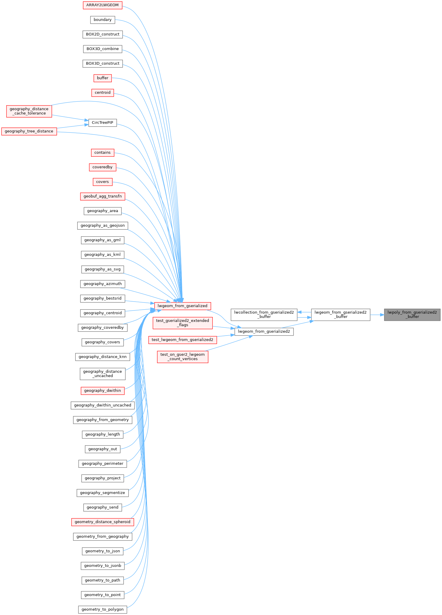
Referenced by lwgeom_from_gserialized2_buffer().
Here is the call graph for this function:
Here is the caller graph for this function: