Loading...
Searching...
No Matches
◆ gserialized2_from_lwcollection()
|
static |
Definition at line 1039 of file gserialized2.c.
1040{
1041 size_t subsize = 0;
1042 uint8_t *loc;
1043 uint32_t i;
1045
1046 assert(coll);
1047 assert(buf);
1048
1050 loc = buf;
1051
1052 /* Write in the type. */
1053 memcpy(loc, &type, sizeof(uint32_t));
1054 loc += sizeof(uint32_t);
1055
1056 /* Write in the number of subgeoms. */
1058 loc += sizeof(uint32_t);
1059
1060 /* Serialize subgeoms. */
1062 {
1066 loc += subsize;
1067 }
1068
1069 return (size_t)(loc - buf);
1070}
static size_t gserialized2_from_lwgeom_any(const LWGEOM *geom, uint8_t *buf)
Definition gserialized2.c:1072
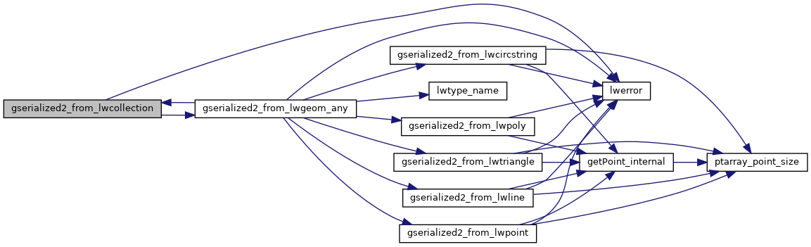
References LWGEOM::flags, LWCOLLECTION::flags, FLAGS_GET_ZM, LWCOLLECTION::geoms, gserialized2_from_lwgeom_any(), lwerror(), LWCOLLECTION::ngeoms, and LWCOLLECTION::type.
Referenced by gserialized2_from_lwgeom_any().
Here is the call graph for this function:
Here is the caller graph for this function: