Loading...
Searching...
No Matches
◆ gserialized2_peek_gbox_p()
| int gserialized2_peek_gbox_p | ( | const GSERIALIZED * | g, |
| GBOX * | gbox | ||
| ) |
Definition at line 393 of file gserialized2.c.
394{
396 uint8_t *geometry_start = gserialized2_get_geometry_p(g);
397 double *dptr = (double *)(geometry_start);
398 int32_t *iptr = (int32_t *)(geometry_start);
399
400 /* Peeking doesn't help if you already have a box or are geodetic */
402 {
404 }
405
406 /* Boxes of points are easy peasy */
408 {
409 int i = 1; /* Start past <pointtype><padding> */
410
411 /* Read the npoints flag */
412 int isempty = (iptr[1] == 0);
413
414 /* EMPTY point has no box */
416
421 {
423 }
425 {
427 }
428 gbox_float_round(gbox);
430 }
431 /* We can calculate the box of a two-point cartesian line trivially */
433 {
435 int i = 0; /* Start at <linetype><npoints> */
436 int npoints = iptr[1]; /* Read the npoints */
437
438 /* This only works with 2-point lines */
439 if (npoints != 2)
441
442 /* Advance to X */
443 /* Past <linetype><npoints> */
444 i++;
447
448 /* Advance to Y */
449 i++;
452
455 {
456 /* Advance to Z */
457 i++;
460 }
462 {
463 /* Advance to M */
464 i++;
467 }
468 gbox_float_round(gbox);
470 }
471 /* We can also do single-entry multi-points */
473 {
474 int i = 0; /* Start at <multipointtype><ngeoms> */
475 int ngeoms = iptr[1]; /* Read the ngeoms */
476 int npoints;
477
478 /* This only works with single-entry multipoints */
479 if (ngeoms != 1)
481
482 /* Npoints is at <multipointtype><ngeoms><pointtype><npoints> */
483 npoints = iptr[3];
484
485 /* The check below is necessary because we can have a MULTIPOINT
486 * that contains a single, empty POINT (ngeoms = 1, npoints = 0) */
487 if (npoints != 1)
489
490 /* Move forward two doubles (four ints) */
491 /* Past <multipointtype><ngeoms> */
492 /* Past <pointtype><npoints> */
493 i += 2;
494
495 /* Read the doubles from the one point */
500 {
502 }
504 {
506 }
507 gbox_float_round(gbox);
509 }
510 /* And we can do single-entry multi-lines with two vertices (!!!) */
512 {
514 int i = 0; /* Start at <multilinetype><ngeoms> */
515 int ngeoms = iptr[1]; /* Read the ngeoms */
516 int npoints;
517
518 /* This only works with 1-line multilines */
519 if (ngeoms != 1)
521
522 /* Npoints is at <multilinetype><ngeoms><linetype><npoints> */
523 npoints = iptr[3];
524
525 if (npoints != 2)
527
528 /* Advance to X */
529 /* Move forward two doubles (four ints) */
530 /* Past <multilinetype><ngeoms> */
531 /* Past <linetype><npoints> */
532 i += 2;
535
536 /* Advance to Y */
537 i++;
540
543 {
544 /* Advance to Z */
545 i++;
548 }
550 {
551 /* Advance to M */
552 i++;
555 }
556 gbox_float_round(gbox);
558 }
559
561}
uint32_t gserialized2_get_type(const GSERIALIZED *g)
Extract the geometry type from the serialized form (it hides in the anonymous data area,...
Definition gserialized2.c:184
static uint8_t * gserialized2_get_geometry_p(const GSERIALIZED *g)
Definition gserialized2.c:104
lwflags_t gserialized2_get_lwflags(const GSERIALIZED *g)
Read the flags from a GSERIALIZED and return a standard lwflag integer.
Definition gserialized2.c:57
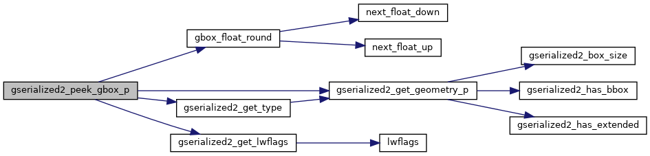
References GBOX::flags, FP_MAX, FP_MIN, G2FLAGS_GET_BBOX, G2FLAGS_GET_GEODETIC, G2FLAGS_GET_M, G2FLAGS_GET_Z, G2FLAGS_NDIMS, gbox_float_round(), GSERIALIZED::gflags, gserialized2_get_geometry_p(), gserialized2_get_lwflags(), gserialized2_get_type(), LINETYPE, LW_FAILURE, LW_SUCCESS, GBOX::mmax, GBOX::mmin, MULTILINETYPE, MULTIPOINTTYPE, POINTTYPE, GBOX::xmax, GBOX::xmin, GBOX::ymax, GBOX::ymin, GBOX::zmax, and GBOX::zmin.
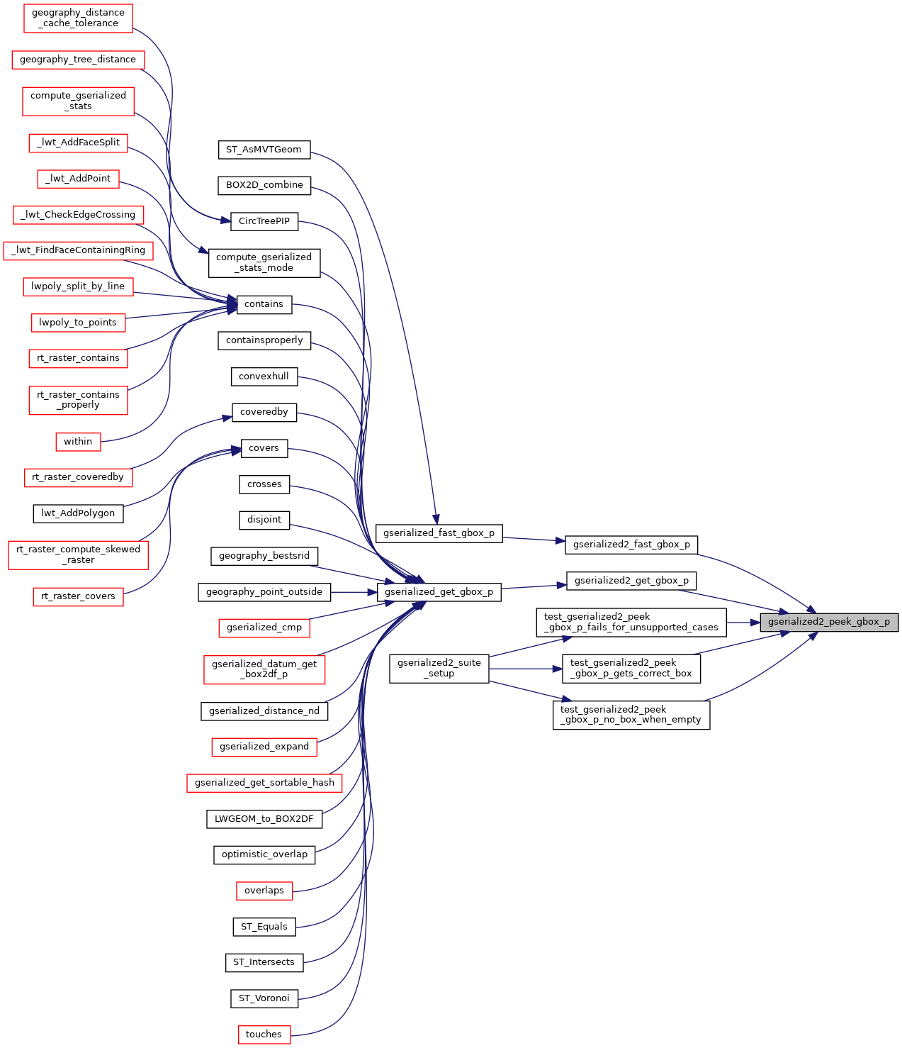
Referenced by gserialized2_fast_gbox_p(), gserialized2_get_gbox_p(), test_gserialized2_peek_gbox_p_fails_for_unsupported_cases(), test_gserialized2_peek_gbox_p_gets_correct_box(), and test_gserialized2_peek_gbox_p_no_box_when_empty().
Here is the call graph for this function:
Here is the caller graph for this function: