◆ gserialized2_get_float_box_p()
| const float* gserialized2_get_float_box_p | ( | const GSERIALIZED * | g, |
| size_t * | ndims | ||
| ) |
Point into the float box area of the serialization.
Definition at line 294 of file gserialized2.c.
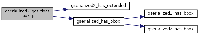
int gserialized2_has_extended(const GSERIALIZED *g)
Check if a GSERIALIZED has an extended flags section.
Definition: gserialized2.c:151
int gserialized_has_bbox(const GSERIALIZED *g)
Check if a GSERIALIZED has a bounding box without deserializing first.
Definition: gserialized.c:163
References GSERIALIZED::data, G2FLAGS_NDIMS_BOX, GSERIALIZED::gflags, gserialized2_has_extended(), and gserialized_has_bbox().
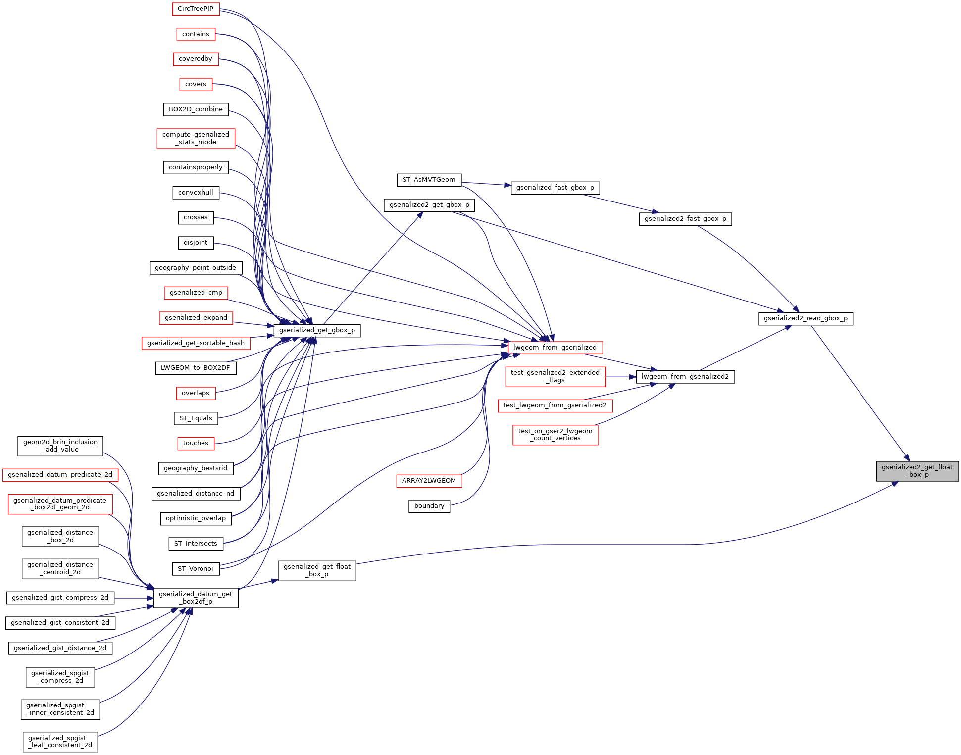
Referenced by gserialized2_read_gbox_p(), and gserialized_get_float_box_p().
Here is the call graph for this function:
Here is the caller graph for this function: