Loading...
Searching...
No Matches
◆ lwpoint_from_gserialized2_buffer()
|
static |
Definition at line 1269 of file gserialized2.c.
1270{
1271 uint8_t *start_ptr = data_ptr;
1272 LWPOINT *point;
1273 uint32_t npoints = 0;
1274
1275 assert(data_ptr);
1276
1279 point->bbox = NULL;
1282
1283 data_ptr += 4; /* Skip past the type. */
1285 data_ptr += 4; /* Skip past the npoints. */
1286
1287 if (npoints > 0)
1288 point->point = ptarray_construct_reference_data(FLAGS_GET_Z(lwflags), FLAGS_GET_M(lwflags), 1, data_ptr);
1289 else
1290 point->point = ptarray_construct(FLAGS_GET_Z(lwflags), FLAGS_GET_M(lwflags), 0); /* Empty point */
1291
1293
1294 if (size)
1295 *size = data_ptr - start_ptr;
1296
1297 return point;
1298}
static uint32_t gserialized2_get_uint32_t(const uint8_t *loc)
Definition gserialized2.c:129
POINTARRAY * ptarray_construct_reference_data(char hasz, char hasm, uint32_t npoints, uint8_t *ptlist)
Construct a new POINTARRAY, referencing to the data from ptlist.
Definition ptarray.c:291
lwflags_t lwflags(int hasz, int hasm, int geodetic)
Construct a new flags bitmask.
Definition lwutil.c:471
POINTARRAY * ptarray_construct(char hasz, char hasm, uint32_t npoints)
Construct an empty pointarray, allocating storage and setting the npoints, but not filling in any inf...
Definition ptarray.c:51
Definition liblwgeom.h:455
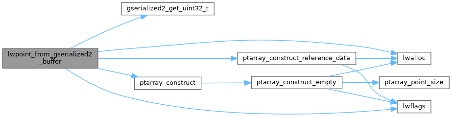
References LWPOINT::bbox, LWPOINT::flags, FLAGS_GET_M, FLAGS_GET_Z, FLAGS_NDIMS, gserialized2_get_uint32_t(), lwalloc(), lwflags(), LWPOINT::point, POINTTYPE, ptarray_construct(), ptarray_construct_reference_data(), LWPOINT::srid, SRID_UNKNOWN, and LWPOINT::type.
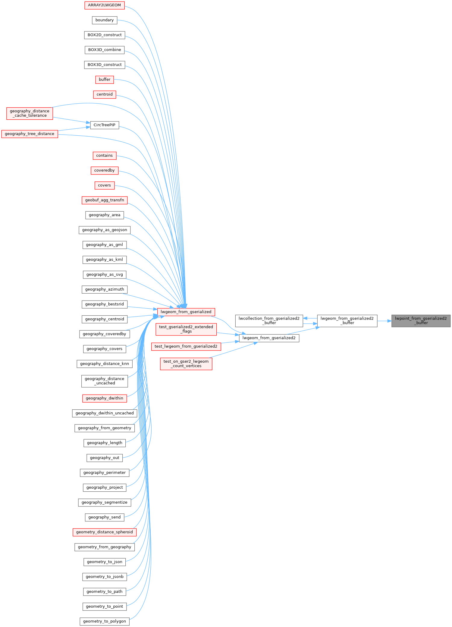
Referenced by lwgeom_from_gserialized2_buffer().
Here is the call graph for this function:
Here is the caller graph for this function: