Loading...
Searching...
No Matches
◆ encode_triangle()
|
static |
Definition at line 257 of file geobuf.c.
258{
259 Data__Geometry *geometry = galloc(DATA__GEOMETRY__TYPE__POLYGON);
261 uint32_t len;
262
264 return geometry;
265
266 len = pa->npoints - 1;
267 geometry->n_coords = len * ctx->dimensions;
268 geometry->coords = encode_coords(ctx, pa, NULL, len, 0);
269
270 return geometry;
271}
static int64_t * encode_coords(struct geobuf_agg_context *ctx, POINTARRAY *pa, int64_t *coords, int len, int offset)
Definition geobuf.c:162
Definition liblwgeom.h:412
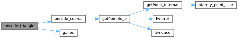
References geobuf_agg_context::dimensions, encode_coords(), galloc(), POINTARRAY::npoints, and LWTRIANGLE::points.
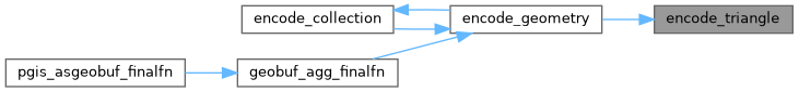
Referenced by encode_geometry().
Here is the call graph for this function:
Here is the caller graph for this function: