Loading...
Searching...
No Matches
◆ encode_line()
|
static |
Definition at line 237 of file geobuf.c.
239{
240 POINTARRAY *pa;
241 Data__Geometry *geometry;
242
243 geometry = galloc(DATA__GEOMETRY__TYPE__LINESTRING);
244
245 pa = lwline->points;
246
248 return geometry;
249
252
253 return geometry;
254}
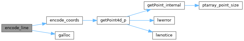
static int64_t * encode_coords(struct geobuf_agg_context *ctx, POINTARRAY *pa, int64_t *coords, int len, int offset)
Definition geobuf.c:162
Definition liblwgeom.h:412
References geobuf_agg_context::dimensions, encode_coords(), galloc(), POINTARRAY::npoints, and LWLINE::points.
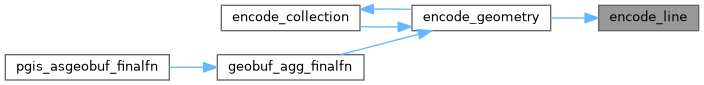
Referenced by encode_geometry().
Here is the call graph for this function:
Here is the caller graph for this function: