Loading...
Searching...
No Matches
◆ encode_point()
|
static |
Definition at line 188 of file geobuf.c.
190{
191 int npoints;
192 Data__Geometry *geometry;
193 POINTARRAY *pa;
194
195 geometry = galloc(DATA__GEOMETRY__TYPE__POINT);
196
197 pa = lwpoint->point;
198 npoints = pa->npoints;
199
200 if (npoints == 0)
201 return geometry;
202
203 geometry->n_coords = npoints * ctx->dimensions;
204 geometry->coords = encode_coords(ctx, pa, NULL, 1, 0);
205
206 return geometry;
207}
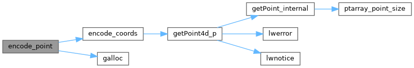
static int64_t * encode_coords(struct geobuf_agg_context *ctx, POINTARRAY *pa, int64_t *coords, int len, int offset)
Definition geobuf.c:162
Definition liblwgeom.h:412
References geobuf_agg_context::dimensions, encode_coords(), galloc(), POINTARRAY::npoints, and LWPOINT::point.
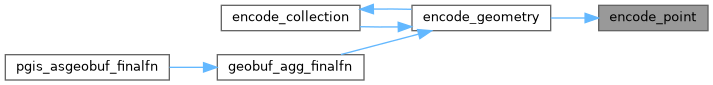
Referenced by encode_geometry().
Here is the call graph for this function:
Here is the caller graph for this function: