Loading...
Searching...
No Matches
◆ lwdoubles_to_latlon()
|
static |
Definition at line 399 of file lwprint.c.
400{
401 char * lat_text;
402 char * lon_text;
403 char * result;
404 size_t sz;
405
406 /* Normalize lat/lon to the normal (-90 to 90, -180 to 180) range. */
407 lwprint_normalize_latlon(&lat, &lon);
408 /* This is somewhat inefficient as the format is parsed twice. */
411
412 /* lat + lon + a space between + the null terminator. */
413 sz = strlen(lat_text) + strlen(lon_text) + 2;
415 snprintf(result, sz, "%s %s", lat_text, lon_text);
416 lwfree(lat_text);
417 lwfree(lon_text);
418 return result;
419}
static char * lwdouble_to_dms(double val, const char *pos_dir_symbol, const char *neg_dir_symbol, const char *format)
Definition lwprint.c:76
static void lwprint_normalize_latlon(double *lat, double *lon)
Definition lwprint.c:34
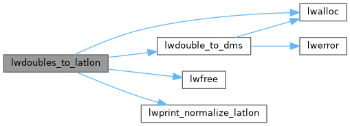
References lwalloc(), lwdouble_to_dms(), lwfree(), and lwprint_normalize_latlon().
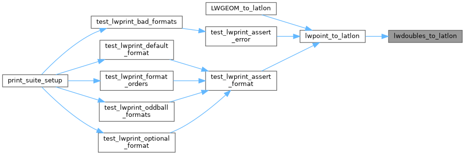
Referenced by lwpoint_to_latlon().
Here is the call graph for this function:
Here is the caller graph for this function: