◆ lwline_from_wkb_state()
|
static |
LINESTRING Read a WKB linestring, starting just after the endian byte, type number and optional srid number.
Advance the parse state forward appropriately. There is only one pointarray in a linestring. Optionally check for minimal following of rules (two point minimum).
Definition at line 462 of file lwin_wkb.c.
LWLINE * lwline_construct(int32_t srid, GBOX *bbox, POINTARRAY *points)
Definition: lwline.c:42
const char * lwtype_name(uint8_t type)
Return the type name string associated with a type number (e.g.
Definition: lwutil.c:216
LWLINE * lwline_construct_empty(int32_t srid, char hasz, char hasm)
Definition: lwline.c:55
static POINTARRAY * ptarray_from_wkb_state(wkb_parse_state *s)
POINTARRAY Read a dynamically sized point array and advance the parse state forward.
Definition: lwin_wkb.c:340
Definition: liblwgeom.h:412
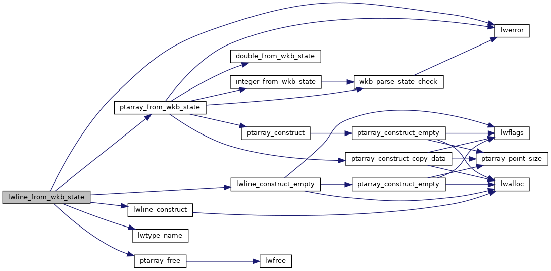
References LW_PARSER_CHECK_MINPOINTS, lwerror(), lwline_construct(), lwline_construct_empty(), lwtype_name(), POINTARRAY::npoints, ptarray_free(), ptarray_from_wkb_state(), and s.
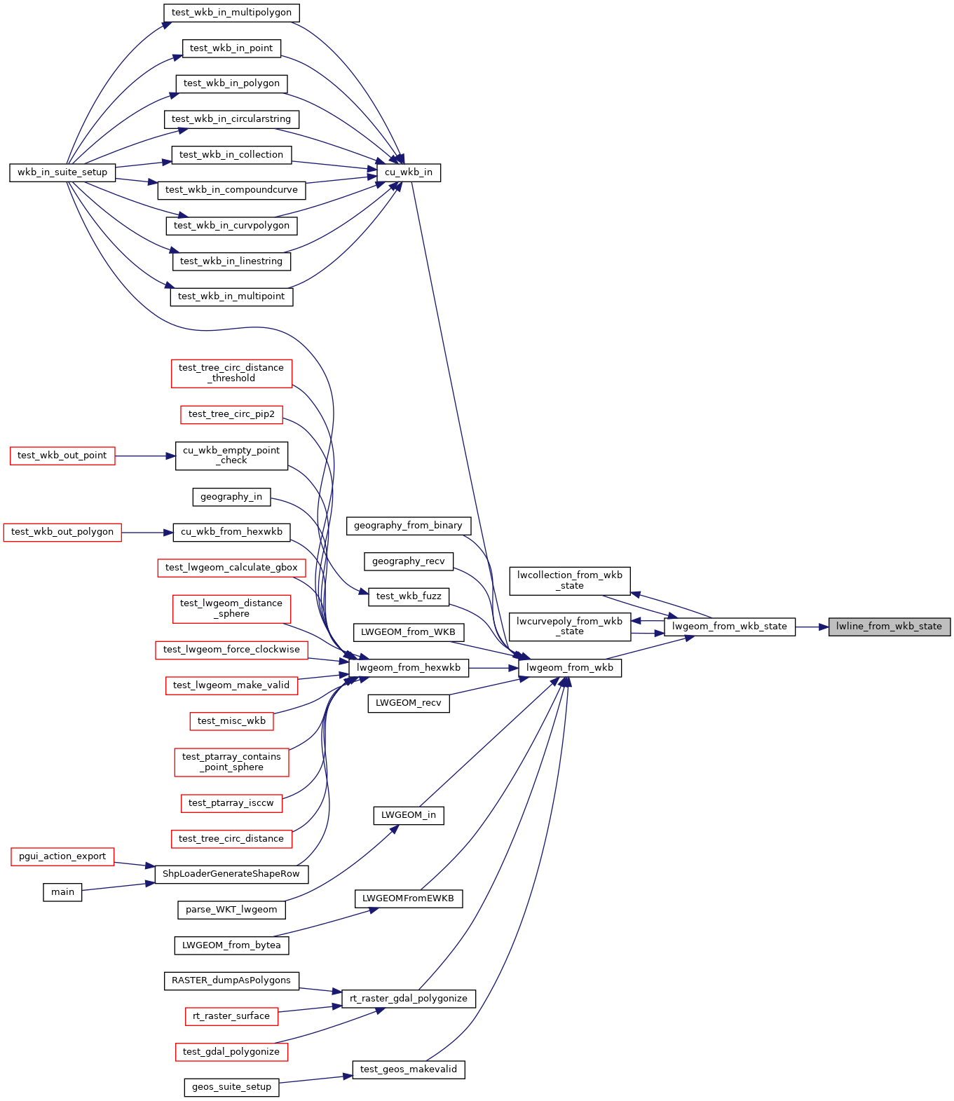
Referenced by lwgeom_from_wkb_state().
Here is the call graph for this function:
Here is the caller graph for this function: